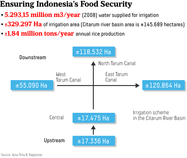
The Citarum is an ancient river. However, the river has not always flowed many kilometers to reach its estuary at the Java Sea. The formation of the Bandung basin some hundreds of years ago once trapped the waters of the Citarum River.
Just how vast was the Bandung basin, and where was it located? The basin approximately stretched 60 kilometers long and 40 kilometers wide. You wish to see it? Just visit one of the cafés in Dago, North Bandung, and look towards the east, and then southward and westward.
The basin spanned from Nagreg to Bandung’s east to Padalarang to its west. Mountains surrounded the basin, forming something that looked like a giant bowl.
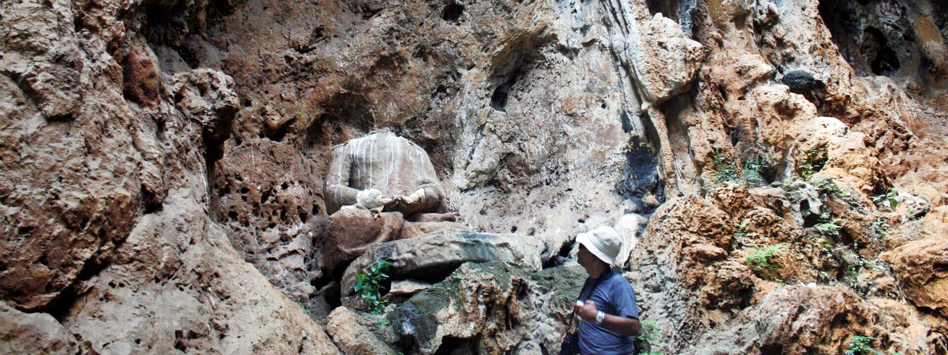
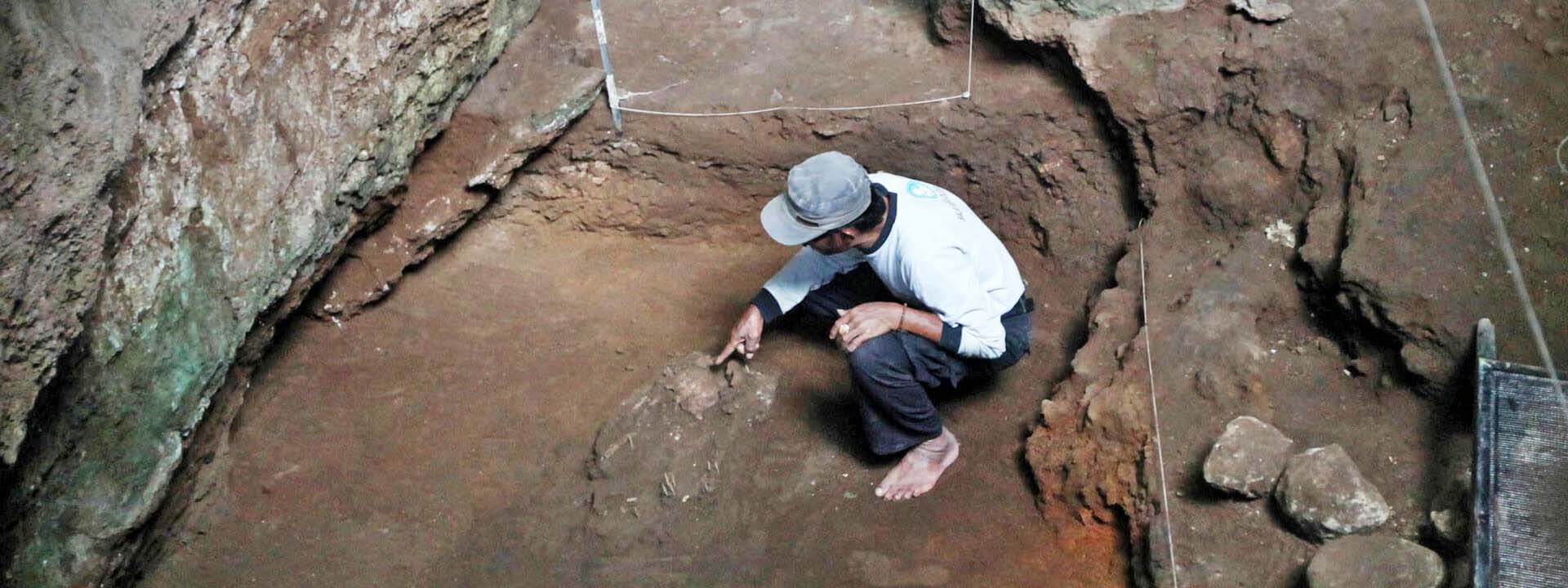
In the prehistoric era, the basin attracted the attention of humans to establish settlements along the riverbanks. On the edge of the basin in the Citarum watershed is the Pawon Cave, which is believed to be the prehistoric site of an ancient human settlement.